Lonboard
Lonboard is a Python library for fast, interactive geospatial vector data visualization in Jupyter.
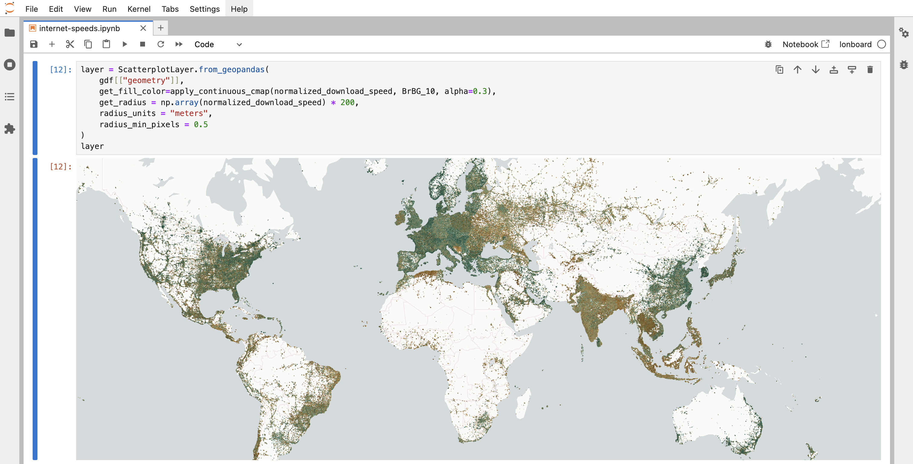
Lonboard was designed from the ground up to be used with GeoArrow, and GeoArrow is the reason why Lonboard is fast.
You can pass a GeoArrow array, chunked array, or table object to Lonboard's viz and it should just work. Or, alternatively, pass a GeoArrow table as the table parameter of a layer's constructor, like in ScatterplotLayer.__init__.
Note
Lonboard does not yet support the new Geometry and GeometryCollection array types introduced in GeoArrow specification version 0.2. It likely will soon. For now, use downcast to simplify geometry types.
Lonboard does also support the WKB array type, so you can use to_wkb on a Geometry or GeometryCollection array.
Examples
Passing a GeoArrow table to viz:
from geoarrow.rust.io import GeoParquetFile
from obstore.store import HTTPStore
from lonboard import viz

store = HTTPStore.from_url(
    "https://raw.githubusercontent.com/opengeospatial/geoparquet/v1.0.0/examples"
)
file = GeoParquetFile.open("example.parquet", store=store)
table = file.read()

m = viz(table)
m
Refer to lonboard's documentation for more examples.